e-Navigation Passage Planning transformation


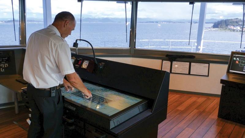
 Photo: Nor-Shipping 2017

Passage planning. Two words sure to elicit a groan from any navigator anywhere in the world. The vital, yet incredibly frustrating, process of developing a complete description of a vessel's voyage from start to finish, berth to berth, is an administrative burden.
On average, each vessel, for each journey, uses 3.5 hours of officer time to collate a plan – manually adding elements such as ENC cells, journey waypoints and UKC calculations to a report for inspection by port state authorities and other relevant organizations.
It’s a laborious task and, thanks to the high degree of repetitive manual input, a constant source of human error. Multiplied across vessels, companies and fleets it’s also a huge inefficiency, for an industry where optimal resource use and cost savings are now more important than ever. But there is an alternative, and e-Navigation is the key.
Driving innovation
NAVTOR is involved in a number of research projects that create platforms for innovation in e-Navigation, helping to deliver on the promise of making life easier, safer and more efficient for navigators, shipowners and operators. These projects, in collaboration with expert partners from around the globe, deliver insights into how technology can unlock automated processes and deliver improved ways of working.
For example, NAVTOR is the marine representative within the ENABLE-S3 EU initiative, whereby a multi-national team are working across transport sectors to explore the way forward for autonomous vehicles. It is also involved in SESAME-II, assessing possibilities for automating ship reporting, and M-AR, which is looking at Augmented Reality as an enabler for improved navigational perception.
These projects sound futuristic, but the understanding they deliver helps create benefits today. Passage Planning is a case in point.
Steps to transformation
Passage Planning is a four-stage process, consisting of appraisal, planning, execution, and monitoring. The first two stages currently involve much of the administrative ‘legwork’, while the latter two have been partially addressed by the developments of ECDIS technology over recent years. It worth considering each stage in isolation to assess how e-Navigation can transform the whole.
1. Appraisal
Appraisal involves gathering relevant information for the upcoming voyage. This requires a navigator to navigate his or her way through a sea of available resources and information, assessing what is actually needed for a journey, ensuring the resources provide the latest, up to date material and then interpreting and applying the information in the correct way. The wealth of resources makes it challenging for the officer to know what is needed and what is not, with the result that many over subscribe, wasting time and money.
e-Navigation simplifies this complex start to the Passage Planning journey.
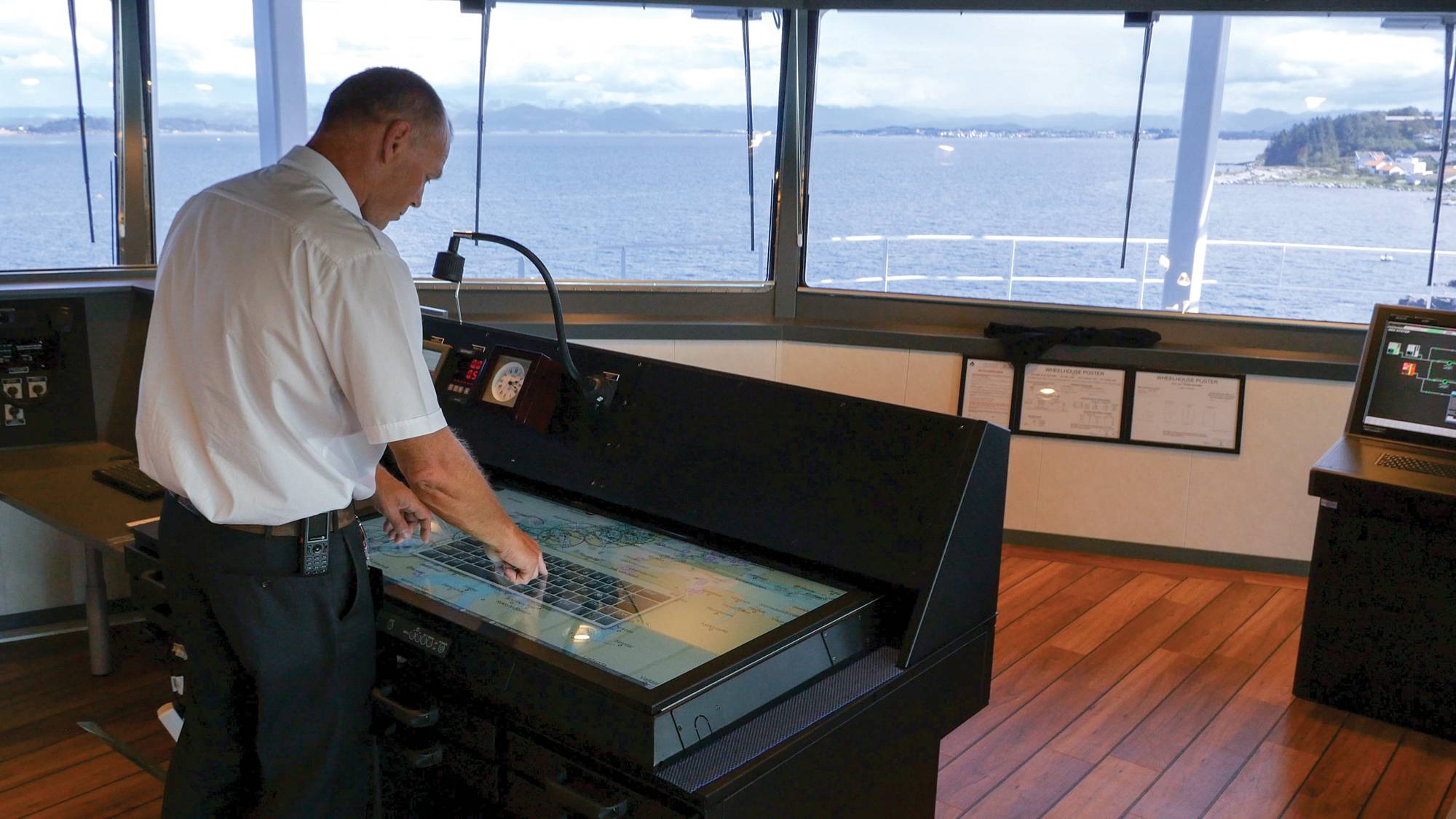
With a digital chart table such as NAVTOR’s NavStation, all data is available and updated on-board, in one place. Everything that is required – including licensed ENC charts, updated ADP, AENP, and the latest NavArea warnings and weather forecasts – is at a navigator’s fingertips, without the need to search, stress and update.
Suddenly appraisal becomes an automated process – transformed from a worrisome burden to an easy check.
2. Planning
After manually gathering all the relevant information, or the information they believe to be relevant, the traditional passage planner moves on to the actual voyage planning. Herein lies the core workload, and the greatest risk of human error.
Each waypoint requires the manual logging and assessment of an array of different information. It is labor intensive and can lead to a desire to cut corners, impacting upon quality and safety, and/or oversights with regards to updating information. This sews the seeds for unwanted incidents.
e-Navigation is here to help. It is now possible for the navigator to input relevant information into their system (such as cargo and loading conditions, vessel size, ETD, and ETA etc.) and automatically receive an optimised, safety-checked suggestion – one that includes information such as UKC, areas of heavy traffic, potential hazards, and so on. With integration into bridge networks the route can be sent directly from the planning station to the ECDIS, with the approved route and passage plan then automatically dispatched to the office on shore.
All of a sudden individual vessels and fleets have full efficiency, safety and transparency, without the risk of human error.
NAVTOR’s involvement in the ENABLE-S3 EU’s project demonstrated just how effective this could be, with a captain manually planning a passage from Barcelona to Las Palmas/Gran Canarias, and then repeating the process digitally through the NavStation. The graph below details the staggering efficiencies delivered by the digital process.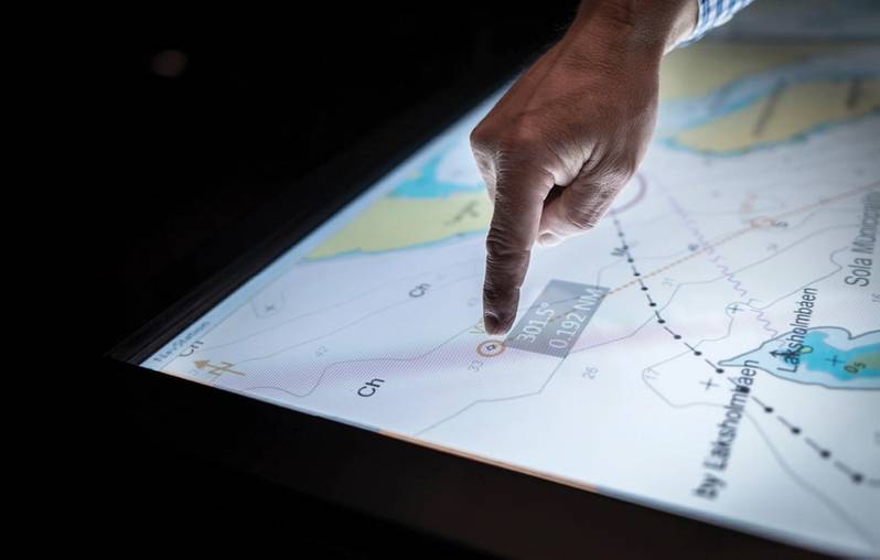 Image: Navtor3 and 4. Execution and monitoring
The final stages of passage planning involve the execution of the journey and necessary monitoring, which has, to a large extent already been simplified by the move from paper to electronic charts and ECDIS. However, NAVTOR’s involvement in the aforementioned research projects provide a tantalizing view of developments waiting on the horizon.
As part of the SESAME-2 collaboration NAVTOR is exploring the concept of Maritime Single Window portals, meaning navigators could utilize a single portal (such as that operated by the Norwegian Coastal Administration) to submit all their documents for port and authority clearance. In addition, the project is investigating the possibility of developing systems whereby all documentation could be transferred via machine-to-machine interaction without the need for human input. This would address another major administrative burden and bridge-based headache – that of ship reporting. If this much-maligned process was automated the efficiencies enabled across the industry could be transformational … as could the sense of relief on vessel bridges worldwide.
Connected benefits
At the heart of e-Navigation lies connectivity. The ability to connect assets, offices, teams and data enables greater awareness, transparency and enhanced decision-making, for both vessels and businesses. So in the monitoring stage, e-Navigation becomes the cornerstone for the creation of onshore Fleet Operations Centers, whereby shore-based captains can monitor vessel progress in line with pre-planned schedules, checking weather conditions and feeding relevant information to crew. This kind of fully connected remote support will be a stepping stone on the path to reduced crew demands and greater vessel autonomy.
The software solution
Moving back from the future to the present, the passage planning possibilities detailed above are already a reality.
In 2017 NAVTOR launched the Passage Planning module on the NavStation digital chart table, updating it for improved performance in 2018. The new iteration automatically captures all necessary passage plan information as a navigator maps out a vessel voyage, without the need for searching for the right data, updating, stress, and thorough manual inputs and checks – the solution is seamless. A report can then be generated at the touch of a button for inspection by port state authorities and other necessary parties.
The automated process transforms administration duties on the bridge, cutting the time spent on passage planning tasks from 3.5 hours to about 30 minutes: designed to be simple and efficient, yet safe and compliant.
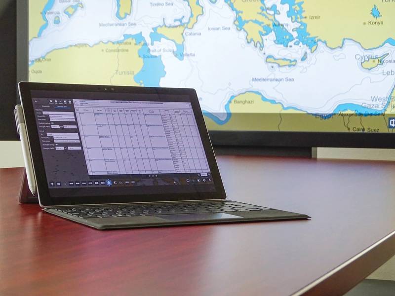 Image: Navtor