INS to Help Manned Sub Explore Andrea Doria Wreck


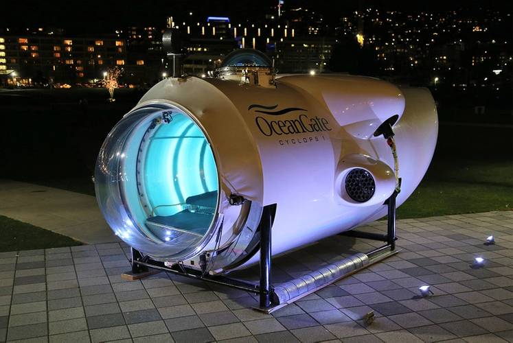 Photo: OceanGate
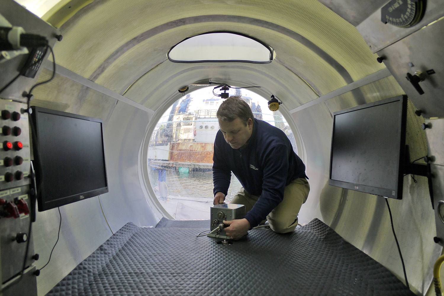
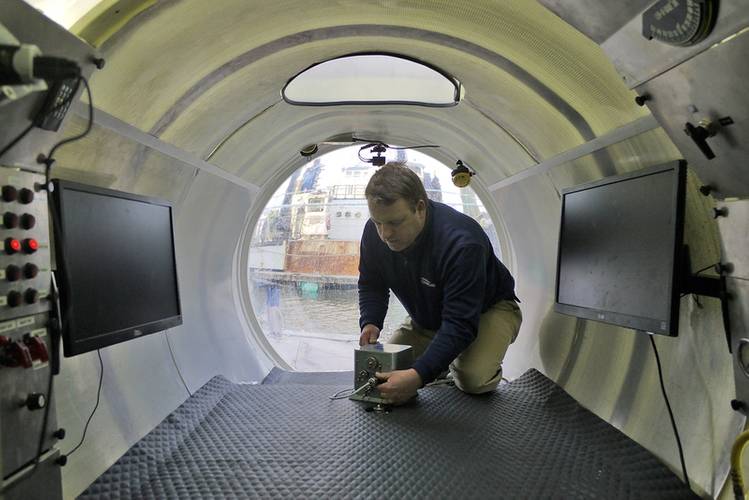 Photo: OceanGate

Strategic partnership enables PHINS system to be used on expedition to explore the iconic Andrea Doria shipwreck
OceanGate, a provider of manned submersible services, and iXBlue, a provider of navigation, positioning and imaging solutions, have partnered to expand the application and use of advanced marine navigation and sonar equipment to explore the world’s deep oceans. As part of the alliance, OceanGate has selected the iXBlue PHINS Inertial Navigation System for use aboard its fleet of Cyclops series manned submersibles.
Reportedly a world first, the PHINS system has been installed on a manned submersible to deliver real-time navigational data directly to the pilot. The PHINS system provides accurate position, heading, attitude, speed and depth data as the submersible explores archeological sites and other undersea targets. With the use of PHINS, submersible pilots no longer need ship-based tracking and a topside communications link to obtain accurate position data.
“Previously our pilots relied on voice commands from the surface team who tracked the sub’s location to help vector us to the target. Now with iXBlue PHINS, the pilot can navigate autonomously throughout the dive and communicate the sub’s position back to the surface,” explained Stockton Rush, CEO of OceanGate.
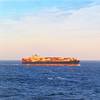
PHINS has been integrated into Cyclops 1 in preparation for OceanGate’s expedition to survey the iconic wreck of Andrea Doria in June 2016. This Italian flagged passenger liner sank in 1956 about 50 miles from Nantucket. The 697 foot long wreck, often referred to as the ‘Mt. Everest of scuba diving’ due to its location and 240 foot depth, tests the limits of diving on compressed air.
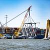
The seven-day expedition will fully survey the exterior of the wreck with high-definition video and multi-beam 3D sonar. The expedition plan includes 10 dives and 30 hours of diving to create nearly 50 individual sonar scans needed to accurately map the wreck and debris field. After the expedition, the sonar scans will be digitally assembled into a complete virtual 3D model to illustrate the full scope of the wreck and document its current condition.
“More accurate position data gives us higher quality sonar models. And with PHINS, the dive team can better track the areas of the dive site that have already been scanned or filmed, and then use this data to eliminate redundant scans and reduce the risk of missing key images of the wreck,” Rush said.