Geo-Fencing on the Waterfront


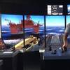
 Jerry Cardillo, President of Enterprise Marine Services
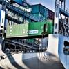
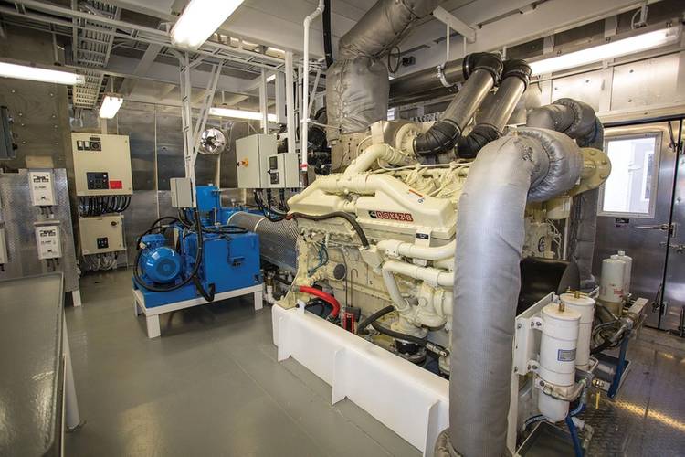
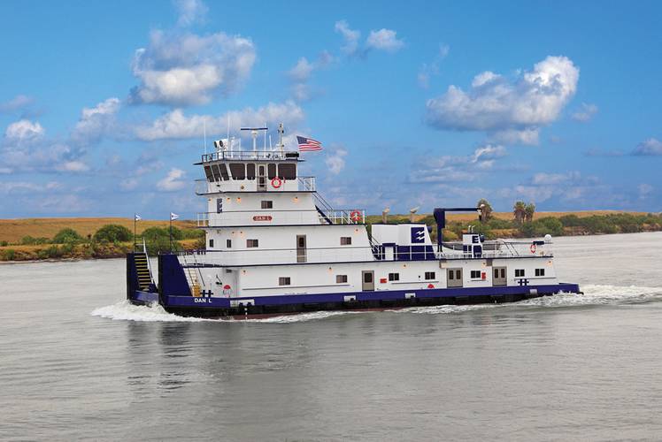 The M/V DAN L, a vessel that uses the Floscan system.
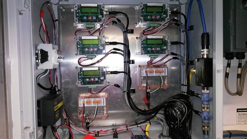
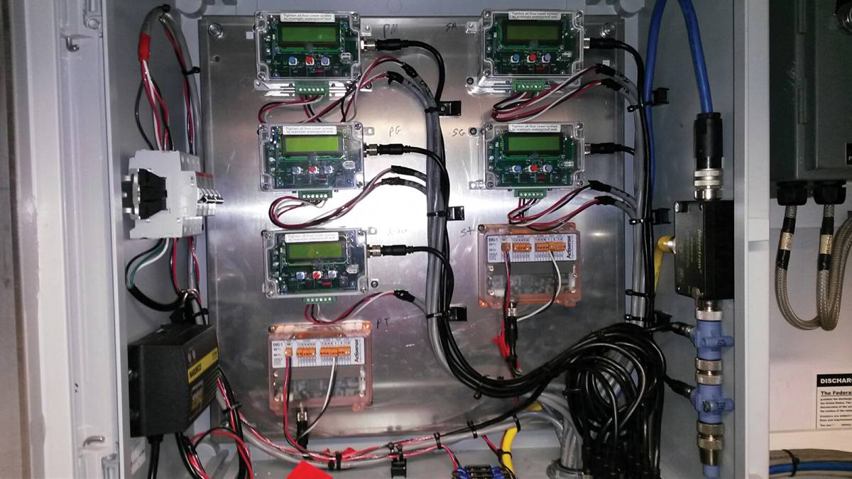
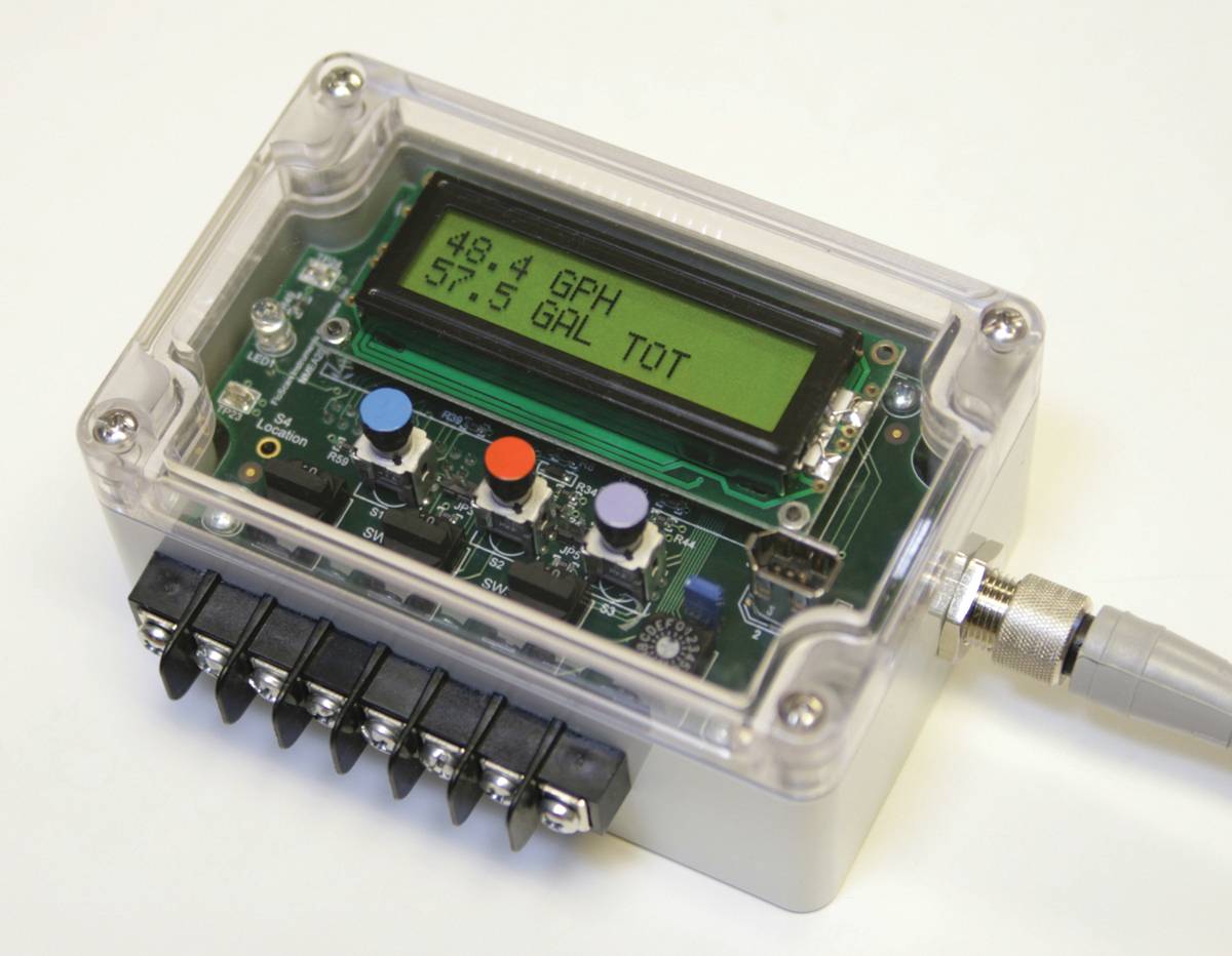
 FloNet Module
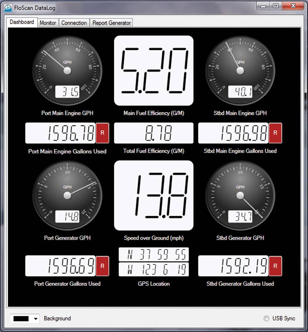
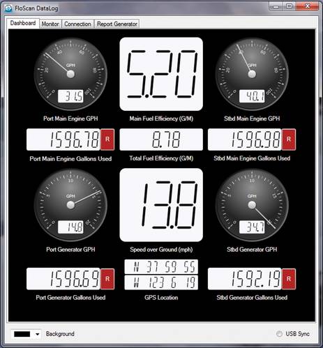 FloNet Fuel Management Screen


Floscan Instrument Company’s fuel monitoring and measurement tool eliminates reporting hassles but provides much, much more for inland operators.
FloScan Instrument Company has been in the fuel monitoring and measurement game for a long time. Since FloScan flow meters were first introduced 40 years ago, more than 750,000 Floscan sensors and systems have found their way onto almost every make of gasoline and diesel engine in the world rated from 25hp to 6000hp. Floscan got started in the aircraft industry and worked its way into the recreational marine markets. The bulk of Floscan’s marine business involves workboats, fishing and industrial generator applications. According to Floscan, where fuel consumption is a critical measurement, the product installs and runs at half the cost of some competitors.
Today, and through the use of Floscan’s proprietary DataLog software, FloScan is helping tug and barge operators on the inland rivers save money by accurately tracking fuel consumption for calculating federal, state and regional tax levies. The process is called geo-fencing and it is as remarkable as it is simple.
One such client is Houma, LA-based Enterprise Marine Services (EMS), an operator of inland tow boats and tank barges with a small fleet of offshore tugs and barges. The majority of the EMS tug fleet works inland so geo-fencing is important for the operator’s tax purposes. EMS President Jerry Cardillo told MarineNews that his fleet already boasted 17 Floscan units and that system typically installs in about one day. EMS and Cardillo operates 63 tugs and 134 barges, running up and down the inland and offshore waterways. But Cardillo depends on Floscan for many things, beyond the all-important tax reporting. Cardillo insists, “It’s about customer satisfaction and providing them with the best possible service. When the charterer is paying for the fuel, we want to know that we are operating as efficiently as possible.”
EMS regularly benchmarks many aspect of their business, including the installation of a new z-drive on one of their tow boats. EMS, for example, wants to know what the sweet spot for that system might be, whether or not it produces energy savings and other metrics above and beyond the standard propulsion system, as promised. As EMS embarks on its new build program, it is also building to a Tier III standard. And, says Cardillo, with Floscan, EMS can even monitor consumption and efficiencies not only vessel to vessel, but also based on the personnel on board the boat.
EMS only started installing Floscan onto its vessels in the fourth quarter of 2014, but Cardillo says that he and his team are already looking at many data points which will eventually yield dividends for EMS – and his all important customers. EMS is already looking ahead to the coming Tier IV requirements. “We’ll want data from our current fleet, for comparisons, when that comes.”
Geofencing 101
Operating commercial vessels on inland waterways requires accurate fuel consumption tracking for paying an array of fuel use taxes under the Inland Waterways Revenue Act in addition to those imposed by some states and local jurisdictions. In most cases, these taxes apply only to fuel used for propulsion and are based not on gallons purchased, but on gallons burned while transiting specific areas. The complexity of tracking fuel burned for tax purposes has been, up until now, tedious, time consuming and for many little more than guesswork, neither. But that all changed with the latest version of the FloScan DataLog software with Geo-fencing.
DataLog software is included FREE with the purchase of any FloScan FloNET fuel computer system. Here’s how it works: FloScan fuel flow sensors are installed on the vessel’s engines and generators and linked to the FloNET NMEA 2000 network hub. The hub is linked to the vessel’s onboard GPS to provide locational data. The various data streams are supplied through the FloNET hub to an onboard computer system or laptop running the free DataLog software, which captures and displays the data in a very flexible spreadsheet format that can be customized to provide a wide range of information for the vessel and can be set up to report to fleet operations via email on a user-selected schedule.
The fuel flow parameters recorded and displayed in DataLog include net fuel usage total for the vessel, net fuel flow rate per engine; net fuel usage total per engine; supply flow rate; fuel temperature; return flow rate and fuel temperature. The vessel parameters recorded and displayed in DataLog include speed over ground; course over ground; fuel efficiency; and GPS coordinates. In both cases, this data is recorded continuously once per minute.
The data recorded on the PC is automatically transferred to a custom-programmed FloScan flash drive as a CSV spreadsheet file. The USB flash drive is automatically synched with the latest “unrecorded” data each time the flash drive is inserted. This can be done at whatever intervals the user selects from hourly to daily to weekly and so on. Data can be retrieved or the file can be manually e-mailed as an attachment directly from the vessel’s PC. Each commercial copy can monitor and record up to 16 engines simultaneously on a NMEA 2000 or CANbus (network) backbone. Software also includes custom CSV spreadsheet report generation.
The latest version of DataLog has the added flexibility of geo-fencing or the ability to program in an infinite number of geographic “tax zones” for tracking fuel burned while transiting each zone. This is done by entering the latitude and longitude boundaries of each zone. When the GPS indicates the vessel has crossed a geo-fence into a tax zone it automatically begins recording the fuel burned by the propulsion engine(s) until it crosses the next geo-fence effectively leaving the zone and entering the next. The process continues as the vessel passes from zone to zone automatically recording accurate consumption data for each. The data is included in the spreadsheet for calculating tax liabilities for the vessel and making it available to fleet operations via the user selected data transfer from the vessel. www.floscan.com
(As published in the June 2015 edition of Marine News - http://magazines.marinelink.com/Magazines/MaritimeNews)