

nv Charts Updates Florida, Bahamas, Caribbean Charts
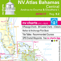
nv charts has announced the release of their newly updated chart sets for Florida, the Bahamas and the Caribbean for 2016/17 in paper and digital format. In addition to being updated, the new NV.Atlas format brings a modern, handy design to the charts that’s practical and easy to use. The chart set includes a download of digital charts, including free navigation software, plus the free nv charts Mobile App for iOS and Android mobile devices. The App includes free digital updates for this chart set for 2016/17.
New Bahamas Northwest Chart Set Upgrade
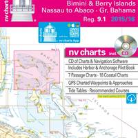
nv charts announces the release of its newly updated chart set for Region 9.1, Bahamas Northwest, including Bimini and Berry Islands, Nassau to Abaco, and Grand Bahama, for 2015/2016 in paper and digital format. The chart set includes a CD of digital charts, including free navigation software, plus the free nv charts Mobile App for iOS and Android mobile devices, for real-time navigation with tablet devices. The App includes free digital updates for this chart set for 2015/2016. Nv charts are relied on for accuracy and dependability by recreational boaters, professional mariners, and the U.S.
nv charts Debuts New Cuba Southwest, Puerto Rico Chart Sets
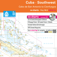
nv charts announced the release of their new chart set for Region 10.3 Cuba Southwest, covering the southwestern coast of Cuba. This new, updated, meticulously surveyed chart set has been much anticipated by sailors in the Caribbean who have wanted to visit the southwestern coastal area but have been reluctant due to the unavailability of reliable charts. Region 10.3 sets, as well as nv charts’ new 2014 edition of Reg. 11.1, Puerto Rico, will be available at the nv charts booth at the U.S. Powerboat Show in Annapolis, MD., October 3 – 6, in Tent C, booth C31; and at the U.S.
NV Charts Debuts New Northeast Regional Chart
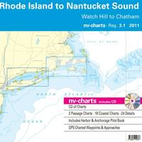
One of the most popular boating and cruising areas on the U.S. East Coast, the region from Long Island, New York to Nantucket, is now available in improved format and readability from NV Charts. Region 3.1: Rhode Island to Nantucket Sound, including the waters from Watch Hill, R.I. to Chatham, Mass., on the lower end of Cape Cod, includes Nantucket, the Elizabeth Islands and Buzzard’s Bay, Block Island, Block Island Sound and all of Narragansett Bay. The nv charts Region 3.1 set is provided in paper and digital format for sailors…
Simrad-Yachting NSE Series Chartplotter Systems
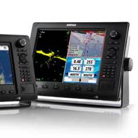
Simrad-Yachting announced the NSE series of multifunction marine electronic displays. The most integrated Simrad-branded system ever developed, the fully-networkable NSE is a powerful GPS Chartplotter with embedded cartography for out-of-the-box functionality. Designed for ease of use, the slim-line NSE Multifunction System incorporates a new menu-driven user interface that includes specific user modes designed to maximize functionality for specific boating segments. Key features…


