SevenCs Updates WMS ChartServer

SevenCs has released WMS ChartServer, version 5, which provides enhanced functionality across several fronts.
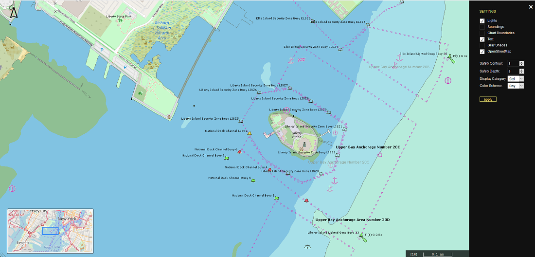
Greater interoperability is the key to WMS ChartServer’s support of spatial queries; this support takes the depth and relevance of information on offer to a new level, using GeoJSON-formatted coordinates.
Interoperability and valuable context were also the benefits fueling the development of bounding boxes that cover more than 360° of latitude. These give customers compatibility of our visual images with third-party geographic data sources such as those provided by Open Street Map.
The new Example Client, can help to saves customers money and familiarization time. It gets application developers up to speed with the WMS ChartServer much more quickly. Providing an Example Client rapidly gives valuable orientation to developers who are using Open Layers and starting to work with WMS ChartServer. It gets around the matter of customers all having their individual settings; at the same time, it vividly brings the WMS ChartServer functionality to life.
To reduce customers’ workload on server-related configuration and maintenance tasks (software updates, installation, chart updates, security settings, etc.) SevenCs offers a fully-fledged hosting service, with WMS ChartServer.
WMS ChartServer comes with Chart Handler, a chart loading and installation tool.