French Frigate Shoals: A Canary in the Coal Mine

French Frigate Shoals are located in the northwestern Hawaiian Islands, between Kauai and Midway. The atoll consists of a twenty-mile long crescent-shaped reef, with 13 coral and sand islands and the 120-foot high volcanic rock Perouse Pinnacle, named for French explorer Jean-Francois de la Perouse, who charted the atoll in 1786 and nearly grounded his two frigates. Tern Island is the largest, covering 105,276 square meters or 26 acres. Second largest is (or was) East Island, with 35,853 square meters or 9 acres when last measured.
Native Hawaiians fished and hunted in the Shoals for hundreds of years. In the late nineteenth century, American and European entrepreneurs became interested in the possibility of mining guano on the islands, but that proved to be impractical. On March 4, 1942, the Japanese Imperial Navy used the Shoals to refuel two Kawanishi H8K ‘Emily’ flying boats from submarines. The large flying boats then flew to Oahu in an attempt to bomb Pearl Harbor. Due to heavy cloud cover and black-out conditions, one plane dropped its bombs near Roosevelt High School, shattering several windows. The other plane dropped its bombs offshore. Both planes then returned to base in the Marshall Islands. The US Navy then build an airstrip on Tern Island and the US Coast Guard operated a Loran Station there, providing navigation aid for Allied forces. In 1952, a more powerful Loran Station was established on East Island. The Coast Guard disestablished the station in 1979 and the facilities were converted into a field station operated by the Fish and Wildlife Service (FWS) to monitor bird and marine life in the Shoals.
In October 2018, Hurricane Walaka swept over the Shoals. It was one of the most intense Pacific hurricanes on record, a Category 5 storm with recorded winds of 160 miles per hour. On October 2, seven researchers on East Island studying Hawaiian monk seals and green sea turtles were evacuated by the Coast Guard. The hurricane struck on October 4. Low-lying East Island suffered a direct hit from the powerful storm surge and was completely destroyed with sediment scattered across coral reefs to the north.
While East Island in the French Frigate Shoals was not the first island lost to environmental degradation, its loss was dramatic due to its speed and visibility. Sea level rise had made it more vulnerable, but it was the intense hurricane, with its high winds and storm surge, which doomed the island.
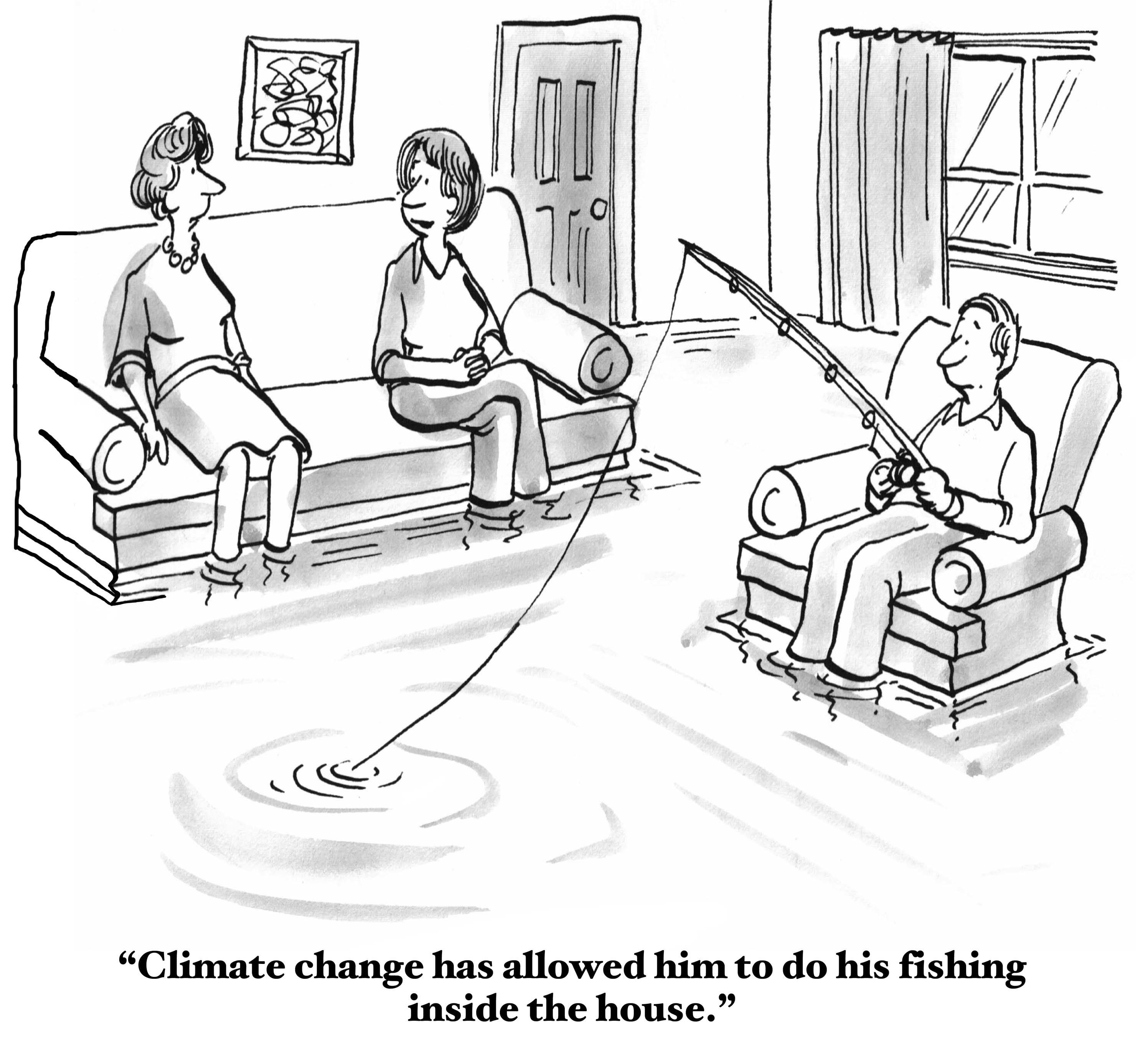
Hurricanes world-wide have increased in intensity over the past 40 years, although their frequency has remained relatively stable. For the continental United States in the Atlantic Basin, models project an increase in the frequency of Category 4 and 5 hurricanes by the end of the century in excess of 40%. Warmer sea surface temperatures can intensify tropic storm wind speeds and cause both rapid intensification in strength and greater storm surge. Rainfall rates are also expected to increase due to faster evaporation of warmer sea water into the atmosphere. Combined, these increases in intensity can result in exponential, not additive, elevation in potential damage. Of the fifteen most expensive (in terms of property damage) hurricanes to make landfall in the United State, twelve occurred between 2004 and 2017 [property damage from 2018 hurricanes is still being calculated].
Storms are sometimes behaving strangely these days. In late September, a gale-force windstorm, called a ‘Medicane’ having formed in the Mediterranean and was named Zorba as it struck Greece and Turkey, causing considerable damage. On October 13-14, the remnants of Hurricane Leslie struck Portugal and Spain after days of wandering around the central North Atlantic. It was referred to by some as a zombie storm as it came back to life several times in its extended history. Hurricane Harvey in Texas in August 2017 was the wettest tropical cyclone on record in the United States. It dropped so much rain (upwards of 60 inches in Nederland alone) the National Weather Service had to add two new colors to its rain index. Other recent tropical cyclones are dropping more precipitation than normally expected. The number of super-typhoons in the western Pacific has reached unprecedented levels.
For years, Hawaii, located in the central Pacific, was considered to be located in a sweet-spot. Hurricanes forming to its east tended to track northeast toward Mexico and California, while typhoons forming to its west tended to track northwest toward the Philippines, Japan, and China. Four or five tropical cyclones form in the Central Pacific Basin each year, but few normally approach Hawaii. Between 1950 and 2017, only 14 hurricanes have passed within 200 nautical miles of the main Hawaiian islands. During 2018 though, two hurricanes (Lane and Olivia) made landfall on the main islands. Three others, including Walaka, passed the main islands just outside the 200 mile limit.
The October 2018 destruction of East Island in the French Frigate Shoals by the combination of higher sea level and increased hurricane intensity should serve as a warning. Not just population centers, but rural areas and natural resources, and not just those at or near the shore, are at risk from the increased intensity of these storms. When the storm signal is raised, batten down the hatches.