NOAA Hires Fugro to Monitor Shoreline Changes in Texas, Louisiana

The National Oceanic and Atmospheric Administration (NOAA) has awarded Fugro two mapping projects on the US Gulf Coast to monitor and quantify shoreline change in this flood-prone region.
The projects, located in Texas and Louisiana, are underway and were awarded under an existing indefinite delivery indefinite quality (IDIQ) contract to support the agency’s Coastal Mapping Program.
Geo-data deliverables are scheduled for Q3 2023 and will be integrated into the national shoreline dataset, aiding nautical chart updates, defining US territorial limits and informing coastal resilience efforts, Fugro said.
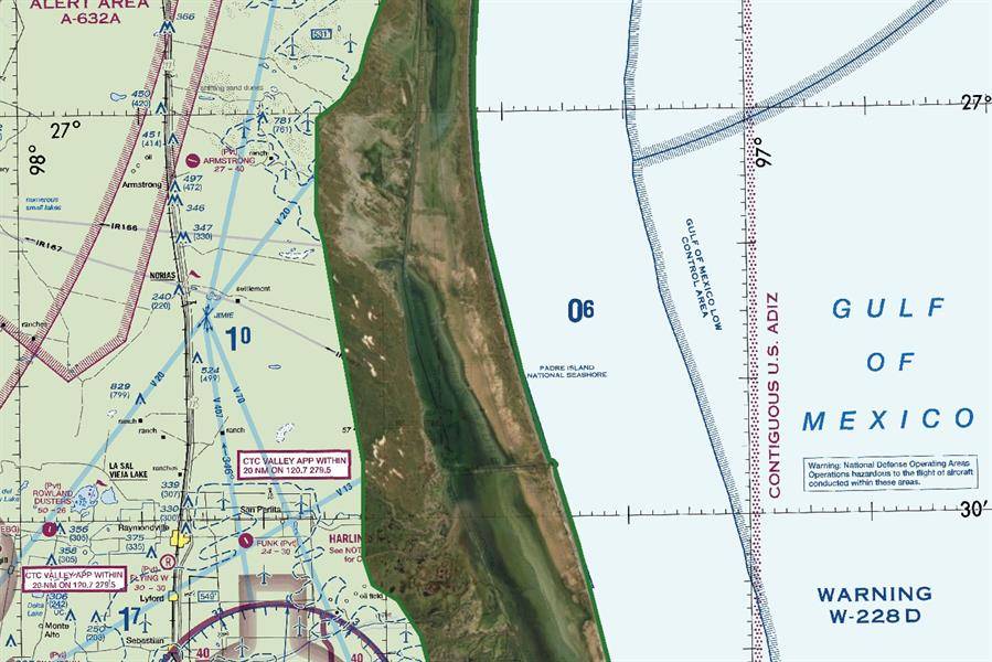
For the Texas project, Fugro will generate high-resolution Geo‑data depicting the land-sea interface using advanced airborne topobathymetric lidar and multispectral imaging technology.
This work is being funded through the recently passed Infrastructure Investment and Jobs Act, and will be used to define the coast and assess climate-related risks, such as inland flooding.
For the Louisiana project, Fugro will deliver coastal imagery to support restoration efforts following Hurricane Ida, a catastrophic storm that caused USD 75 billion in damages to the area last year. The geodata are being developed through supplemental funding from the federal government related to Hurricane Ida recovery.
Mike Aslaksen, Chief of NOAA’s National Geodetic Survey’s Remote Sensing Division stated: “NOAA, through its private sector partners, is excited to provide the mapping data required for updating NOAA navigation products while also benefiting coastal and inland inundation modeling, which is critical to answering coastal resilience needs.”
Dave White, Programs Director for Remote Sensing and Mapping Services for Fugro in the Americas, said: “We greatly value our partnership with NOAA and are pleased to be working on these latest projects in Texas and Louisiana. With offices in both states, our staff have felt first-hand the devastating impacts of storm-related flooding in recent years. We understand the urgency and importance of the geodata we are providing to NOAA in helping communities plan, monitor and act to ensure more resilient coasts now and in the future.”