PortVision Vessel-Tracking for Gulf Cleanup Ops

PortVision, provider of business intelligence solutions for the maritime industry, announced that BP has used the company’s PortVision vessel-tracking service and PV-OnBoard battery-operated satellite trackers to enhance and accelerate response and restoration operations related to the April 20, 2010, Deepwater Horizon incident.
“The PortVision service has significantly improved how we have managed vessel activity related to the Gulf response and restoration operation,” said Scott Neuhauser, Deputy Branch Director for Plaquemines Parish with BP. “PortVision has given us significantly greater visibility into what’s occurring in the field so that we could assess progress and more effectively allocate the more than 30,800 personnel, 5,050 vessels and dozens of aircraft that are engaged in the response effort.”
“We have worked closely with BP and the Unified Command operations team in support of real-time vessel-tracking activities related to the Gulf incident response and restoration effort,” said Dean Rosenberg, chief executive officer. “This includes providing a combination of hardware and customized software, extensive support services, and our PV-OnBoard satellite trackers. The PortVision service offers significant benefits in incident-response and other maritime intelligence applications, and also enables responders and other parties to access historical AIS and satellite data for a variety of purposes, from policy development and training to litigation support and the verification of vessel operating fees and service charges.”
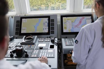
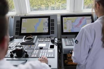
The PortVision service leverages the world’s only comprehensive database of AIS real-time and historical tracking data to provide detailed visibility into commercial vessel activity, from port arrivals and departures to ship movements on the open sea. To track smaller vessels that are not equipped with AIS transponders, BP and the Unified Command team have used the PortVision service with data provided by the company’s PV-OnBoard battery-operated satellite trackers, which are now being deployed on the Louisiana Gulf Coast. Information from the combination of AIS and satellite data has simplified the team’s challenging task of monitoring and managing the many ships, fishing boats, skimmers and barges that have been operated by multiple organizations in adjacent and often overlapping response areas.
Additionally, PortVision has customized its offering for BP and the Unified Command team, adding screen overlays of divisional response areas throughout the affected Gulf regions, and color-coding vessel types within these areas using the PortVision VesselZones feature. The ability to create user-defined VesselZones simpifies vessel viewing, tracking and alerts while streamlining and enhancing incident response.