NOAA Deploys Survey Ships for Arctic Charting Projects


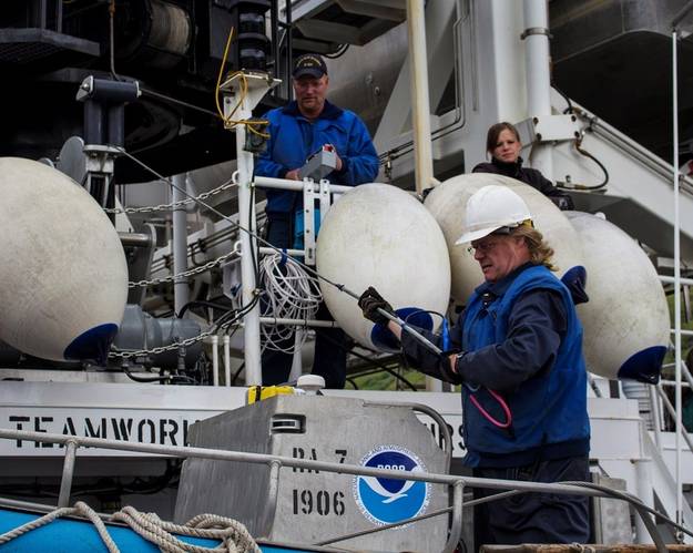 NOAA ships spent the last several days preparing for their Arctic missions. Here, Chief Bosun Jim Kruger (front) works with Jason Kinyon and Lindsey Houska on NOAA Ship Rainier as they get ready to depart this week for the summer's first Arctic survey project, in Kotzebue Sound.(Credit: NOAA)
 (Credit: NOAA)
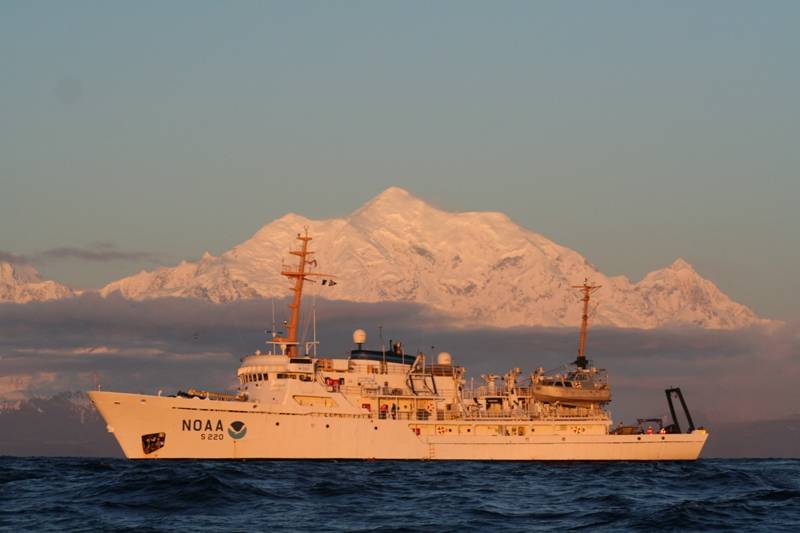
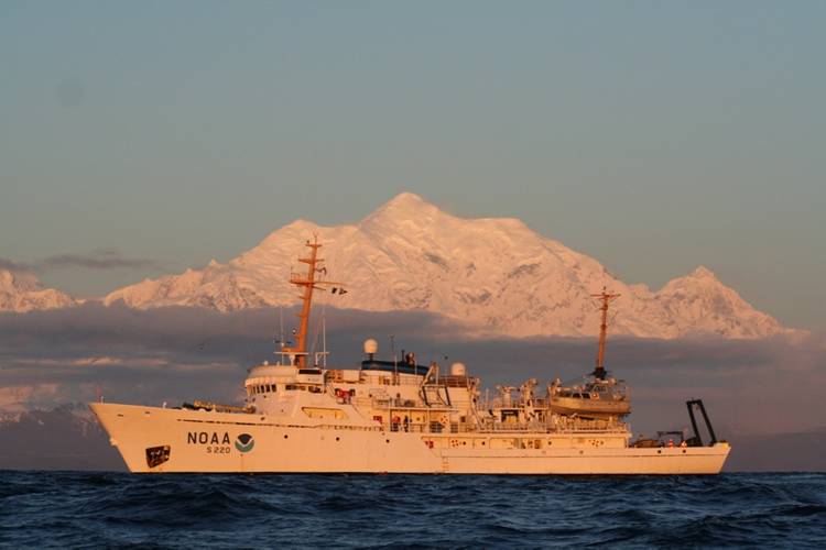 Fairweather (Credit: NOAA)
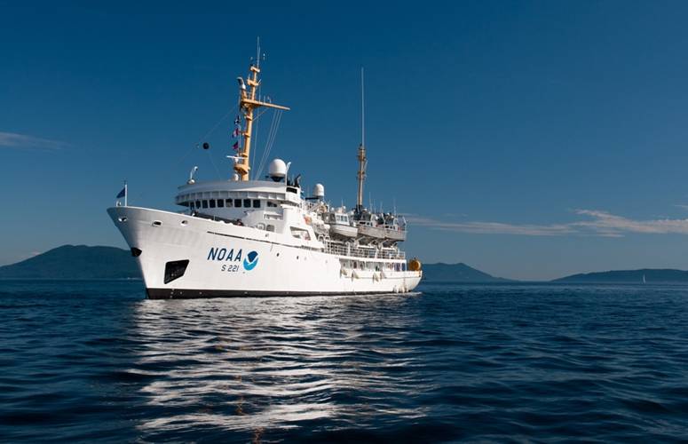 Rainier (Credit: NOAA)
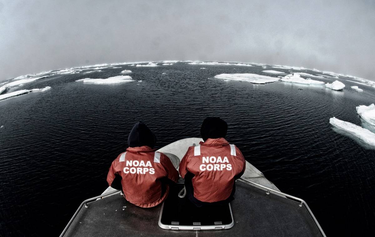
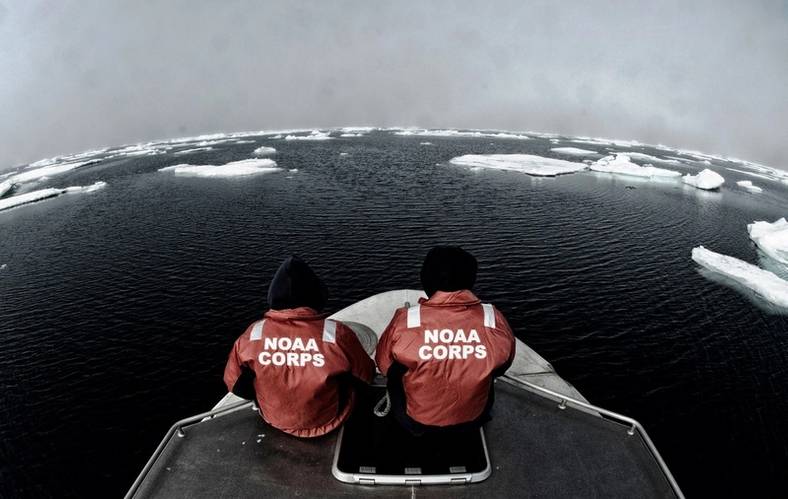 NOAA officers aboard one of the smaller survey vessels contemplate the vastness of the Chukchi Sea during the NOAA Ship Fairweather's reconnaissance survey in 2013. (Credit: NOAA)


Effort aims to improve navigational safety with updated maps of region
NOAA announced the official launch of its 2015 Arctic hydrographic survey season took place this morning, in Kodiak, Alaska, in a World Ocean Day ceremony which showcased the deployment of the NOAA ships Rainier and Fairweather.
“Most Arctic waters that are charted were surveyed with obsolete technology, with some of the information dating back to Captain Cook's voyages, long before the region was part of the United States,” said NOAA deputy under secretary for operations Vice Admiral Michael S. Devany in remarks directed to the crews of NOAA ships. “Your work this summer is a crucial mission in our determination to make the Arctic seas safer for shipping, sustenance and marine life.”
NOAA said it will increase its charting activities in the Arctic to help ensure safe navigation as growing vessel traffic is anticipated in the region.
Rainier and Fairweather will depart Kodiak this week to begin a summer of hydrographic surveying projects in the Arctic. The surveys, which will measure ocean depths and search for dangers to navigation, will help NOAA update nautical charts for Alaska’s waters.
This summer’s projects were the focus of today’s deployment ceremony, which was attended by federal, tribal, state and local dignitaries and featured a performance by the Kodiak Alutiiq Dancers.
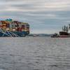
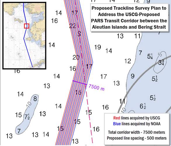
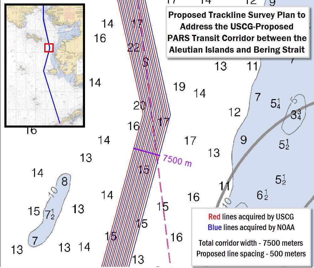
For this year’s Arctic survey projects, the NOAA ships will collect new charting data for Port Clarence, Kotzebue Sound and Point Hope. The ships will also survey the seafloor as they transit to and from the project areas, collecting data along a potential Arctic shipping route from Unimak Island to the Chukchi Sea, as proposed in the U.S. Coast Guard’s Port Access Route Study for the region.
NOAA’s Office of Coast Survey, which manages NOAA’s surveys and creates the nation’s nautical charts, will also manage a survey project conducted by TerraSond under a federal contract. The private company will check the extent of the Prince of Wales shoals, to help vessels transiting to and from points in the Chukchi and Bering Seas.
The Arctic projects are in addition to the NOAA ships’ 2015 non-Arctic Alaskan survey projects for Chatham Strait, Shumagin Islands, Kodiak, and west Prince of Wales Island.
Altogether, NOAA’s hydrographic project areas for Alaska cover 2,800 square nautical miles, plus the 12,000 linear nautical miles for the shipping route project.
Coast Survey will use the data collected by the NOAA ships and TerraSond, as well as depth measurements taken by U.S. Coast Guard Cutter Healy, to update its navigational charts, as laid out in its Arctic Nautical Charting Plan. The marine corridor project will also provide information to help the Coast Guard assess the safety of the proposed USCG port access route.
NOAA’s Office of Coast Survey, originally formed by President Thomas Jefferson in 1807, maintains the nation’s nautical charts, surveys the coastal seafloor, responds to national maritime emergencies, and searches for underwater obstructions and wreckage.
NOAA ships Rainer and Fairweather are part of the NOAA fleet of research ships operated, managed and maintained by NOAA’s Office of Marine and Aviation Operations, which includes commissioned officers of the NOAA Corps, one of the seven uniformed services of the United States, and civilian wage mariners.