ChartWorld Extends Portfolio to Support GIS Customers

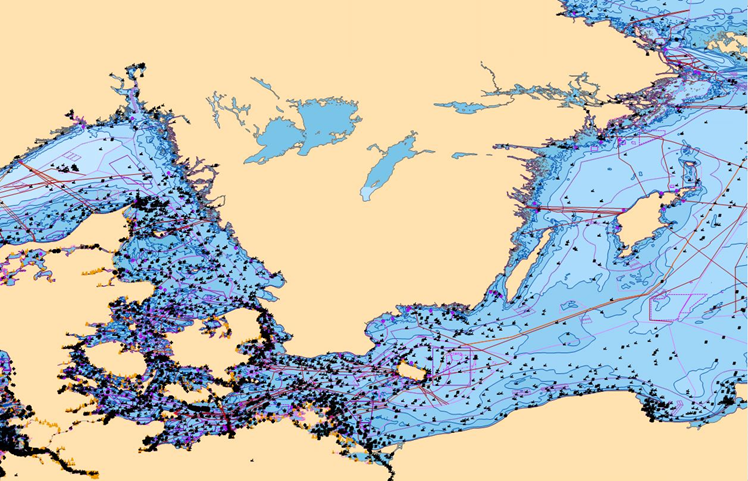
ChartWorld now offers OceanWise Marine Themes dataset that combines the fragmented features of traditional nautical charting merged into an almost seamless marine map. The data is more beneficial and overcomes the irregular coverage and multi scale levels of traditional charting products.
In particular those users who intend to add third party datasets or other outputs such as Web Services will benefit from Marine Themes. The Digital Elevation Model (DEM) makes Marine Themes an advanced dataset for use in desktop and WebGis. Other new complementary products in raster and vector format are currently in development.
Stephan Dimke, ChartWorld Sales Director, commented, “Over the last few years we have observed a growing demand for non-navigational products in the field of new web services (WMS, WFS). ChartWorld realized this important future trend and claims to be in the forefront in order to achieve customer satisfaction.”