NOAA Intros New OceanReports Tool
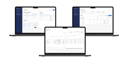
A new web-based interactive tool for ocean mapping and planning created by NOAA and the Department of the Interior’s Bureau of Ocean Energy Management, will give everyone from ocean industries to coastal managers, students, as well as the general public the opportunity to be an ocean explorer from their own computer.
U.S. ocean waters comprise nearly four million square miles and is one of the largest Exclusive Economic Zones (EEZ) in the world. Now, when users outline any area in the U.S. EEZ using the OceanReports tool, they can get detailed information about habitats and species, industries in the area, potential hazards such as undersea cables or shipwrecks, economic value of ocean commerce, and other detailed oceanographic information.
And while OceanReports provides a fountain of data for use by industry and science, it’s still easy enough to use in the classroom to help students studying biology, chemistry, geography and even other disciplines like economics.
“With such a diverse range of ocean uses and stakeholders, the OceanReports tool greatly increases one’s ability to understand and manage the resources in the complex ocean environment,” said BOEM acting director Walter Cruickshank. “Our team worked diligently with NOAA to create this tool, which benefits the ocean community in addition to helping BOEM carry out its mission—the responsible development of ocean energy and marine mineral resources for the nation.”
“The world’s largest collection of ‘ocean intelligence’ can now be accessed to help sustain and grow one of the world’s largest blue economies,” said Neil Jacobs, Ph.D., acting NOAA administrator. “Whether it’s aquaculture siting, marine transportation, or offshore energy, OceanReports puts this data at our fingertips and gives us an edge as we continue to grow our national economy.”
OceanReports builds on more than a decade of data collection to transform how seemingly disparate ocean information can be delivered to the nation’s ocean and coastal industries, which add $320 billion in gross domestic product to the nation’s economy.
The new OceanReports web tool, available at http://www.marinecadastre.gov/oceanreports/, provides users specialized “ocean neighborhood analyses” including maps and graphics by analyzing more than 100 ocean datasets instantaneously.


