Admiralty Provides New ENC Coverage of Vietnam

The United Kingdom Hydrographic Office (UKHO) has announced new ENC (Electronic Navigational Chart) coverage of a key shipping route in Vietnam, providing greater navigational detail of the region.
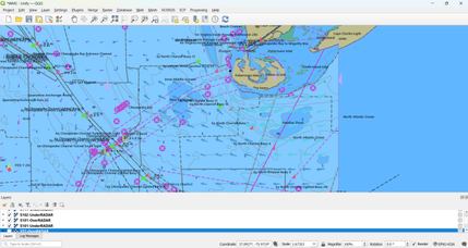
The three new ENCs cover the ports and approaches to Vung Tau, which includes the main container port of Cai Mep, and are only available through the Admiralty Vector Chart Service.
The new ENCs have been produced in response to increasing demand from shipping companies for fully compliant chart data for the region, which has seen significant economic development in the last decade. Vietnam’s Gross Domestic Product (GDP) grew at a rate of 5.89 percent in 2011, according to the General Statistics Office of Vietnam, with strong growth forecast for the next few years
“Vietnam continues to outperform many economies around the world,” said Guy Edwards, Head of Admiralty Asia Pacific, Singapore. “Increased shipping trade plays a key role in maintaining that growth, so fully compliant digital coverage of this area is an important addition for many shipping companies. We worked closely with our colleagues in the Vietnam Maritime Safety Authority to produce these ENCs to cover the key hub of Vung Tau and container port of Cai Mep, which represent a major gateway to trade in southern Vietnam.”