Boston Harbor Phase II Dredging Wraps Up Ahead of Schedule

New England’s busiest port moves closer to welcoming larger containerships and growing the regional economy with the completion of the second phase of a three-part dredging program last month, nearly one year ahead of schedule.
Cashman Dredging and JV partner The Dutra Group began Phase II of the U.S. Army Corps’ Boston Harbor Navigation Improvement Project in July of 2018. The recently completed phase, focused on deepening the main ship channels (the Outer Harbor Channel from 40 to 51 feet, the Main Shipping Channel from 40 to 47 feet, and the Reserve Channel from 40 to 47 feet), Boston Harbor’s Conley Container Terminal, which currently handles 10,000 TEU vessels, will now be able to accommodate with reduced tidal delays 12-14,000 TEU vessels calling on the U.S. East Coast.
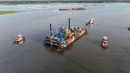
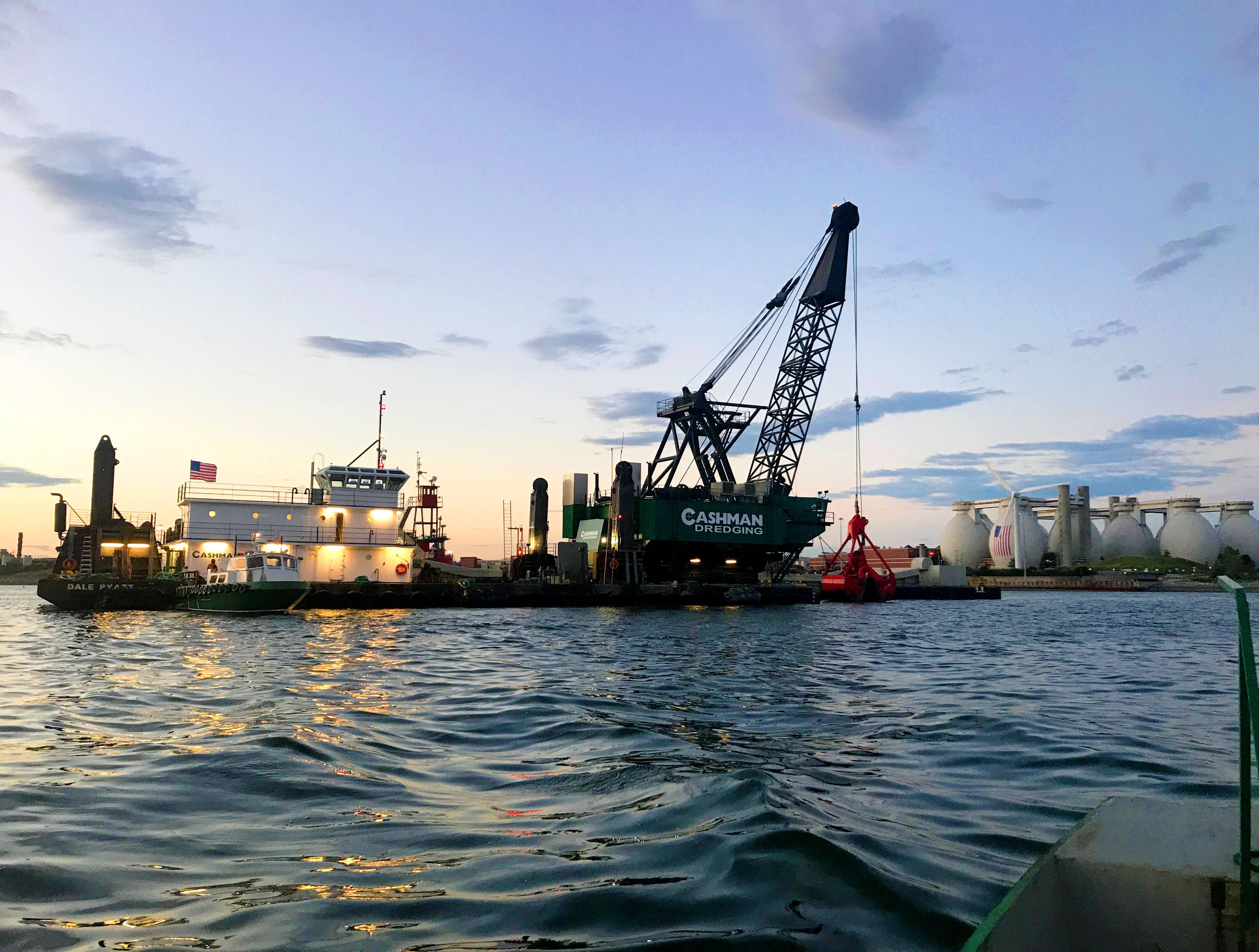
Working 24/7/365, the Cashman/Dutra JV removed approximately 12 million cubic yards of silt, Boston blue clay, glacial till and weathered rock over a seven-mile area with Cashman Dredging’s clamshell dredges Dale Pyatt, FJ Belesimo, and backhoe dredge Captain AJ Fournier, as well as The Dutra Group’s clamshell dredge Paula Lee. Seven split-hull dump scows were used to transport the dredged material to Mass Bay Disposal Site, located approximately twenty nautical miles from the project. To help overcome the hard material in the channel and increase efficiency on the project, Cashman Dredging designed and built in-house a new ripper barge and purchased two 33-cubic yard buckets weighing 80,000 lbs. The company also installed its in-house designed Scow Geofence System (SGS) to add an additional layer of quality control to material disposal via split-hull scow. The SGS prevents scows from inadvertently opening during loading, maintenance or transit to the dredged material disposal site. Using a relay to connect the SGS to the programmable logic controller, the scow must be positioned within the predefined area, the geofence, for it to split open and dispose the material.
The high-traffic nature of the harbor, paired with its proximity to Boston Logan International Airport, made the project especially complex. It required extensive coordination with many parties, including Massport Aviation, Logan Airport Air Traffic Control and the Federal Aviation Administration, which restricted drone, sonar and video footage. Winter weather and ice buildup on the dredges and cranes presented daily safety challenges for the crews. Deer Island’s directionally drilled power lines, along with existing power lines in the dredging footprint, called for a heightened state of awareness and implementation of best practices for dredging near underwater utilities. Further coordination was also required with the U.S Army Corps of Engineers, U.S. Coast Guard, Boston Pilots Association, commuter ferries, lobstermen, recreational users, and others.