Furuno Releases Advanced Charting Platform

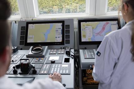
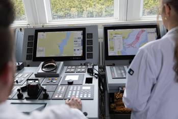
Furuno has introduced TZ MAPS on its NavNet TZtouchXL system, delivering what it calls the most advanced and customizable charting platform ever developed for recreational and professional mariners.
TZ MAPS unlocks new features on TZtouchXL multi-function displays, including AI Routing, AI Avoidance Route™ and BathyVision™.
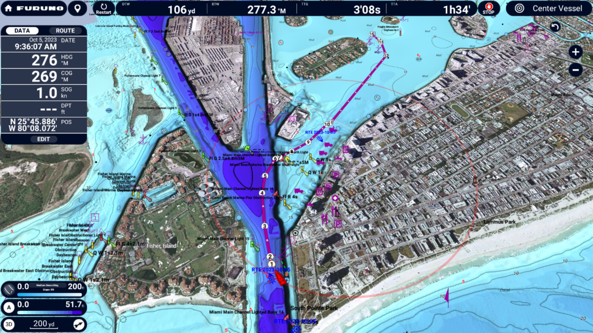
TZ MAPS is built from official hydrographic data, high-resolution bathymetry, satellite imagery and crowd-sourced surveys. It has a Community Maps feature which empowers users to contribute local knowledge by creating and editing chart objects, uploading photos and adding comments directly from the TZtouchXL display.
Crowd-sourced data is curated and continually updated, providing real-world insights from fellow mariners and ensuring that charts evolve with the community. Users also vote on the data with a thumbs-up or thumbs-down to let Furuno know if the update is accurate.
AI Routing is an intelligent routing engine automatically generates optimal routes based on charted hazards, depth contours, and navigation rules, dramatically reducing route planning time and minimizing risk.
With TZ MAPS, navigators can customize their charts to match the way they fish or cruise. Layers, including satellite photos, contour lines and 3D bathymetric views, can be combined and fine-tuned to suit any condition or activity. Features like BathyVision™ show contours down to 3-inch resolution and vivid shading that reveals ridges, drop-offs, canyons and structures clearly.
When connected to a Furuno Solid State NXT Radar, AI Avoidance Route™ utilizes all the information provided by TZ MAPS and real-time radar returns to instantly provide a safe route around hazardous targets. It starts with Risk Visualizer™, a unique feature that shows potential collision areas based on the current position and movement of all surrounding vessels.
When Risk Visualizer™ warns of a potential collision, AI Avoidance Route™ calculates and draws a suggested collision avoidance route.
TZ MAPS includes user-selectable terrain shading and color themes, allowing boaters to tailor the visual experience to suit any lighting or preference.
Unlike static charts, TZ MAPS is a dynamic, intelligent system that receives regular updates with the latest bathymetric and cartographic data, including community contributions, says Furuno. Updates are delivered seamlessly to the TZtouchXL MFD, keeping boaters equipped with the most accurate and current information available.
Updates are free for one year with the purchase of a chart area; after this period, navigators can continue to receive updates with a small annual subscription. TZ MAPS charts can be purchased and unlocked directly from the TZtouchXL MFD, plus they are automatically unlocked in the free TZ iBoat app.
Combined with other Furuno products, such as PBG (Personal Bathymetric Generator), Fish-It/Drift-It, and Bottom Discrimination, TZ MAPS becomes a tool for locating productive fishing grounds, uncovering hidden structure and making smarter decisions on the water.