Kongsberg Maritime Launches ScanFuse Powered by Qii.AI

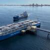
Kongsberg Maritime’s Sensors and Robotics Division has released ScanFuseTMpowered by Qii.AI, a web-based software application that enables Civil Engineers to create comprehensive mosaics of maritime assets above and below the waterline by harnessing the power of artificial intelligence and machine learning.
Civil Engineers use sonar images to assess the structural integrity of waterfront facilities and structures such as port wharfs and berths, bridge piers and dams. These images assist engineers to determine whether hydraulic scour threatens the structure, identify degradation of the materials of construction that require remediation, and identify changes to identified areas of concern over time. The American Society of Civil Engineers, the United States’ Federal Highway Traffic Administration, and the United States Army Corps of Engineers include sections on sonar inspection in their respective manuals for infrastructure and bridge inspection.
Civil Engineers can create sonar images for assessment using high-resolution single beam sector scanning sonar like Kongsberg Maritime’s 1171 sonar or using multibeam sonars that create 3-D point clouds. While 3-D images can be created rapidly and cover large areas, they do not have high resolution and do not capture 100% of the surface being scanned. The best images for civil engineering assessment and use are captured by using high-resolution single beam scanning sonars.
One drawback of high-resolution scanning sonars is the requirement to splice multiple images together to create a complete image of the structure. Prior to ScanFuse, this work had to be done manually using image processing software like Photoshop. This requires an understanding of the sources of sonar image distortion associated with differences in the speed of sound in water due to temperature and salinity gradients. Image interpretation, particularly with respect to shadow, requires a significant amount of operator experience and skill. These skills, unless refreshed regularly, degrade over time.
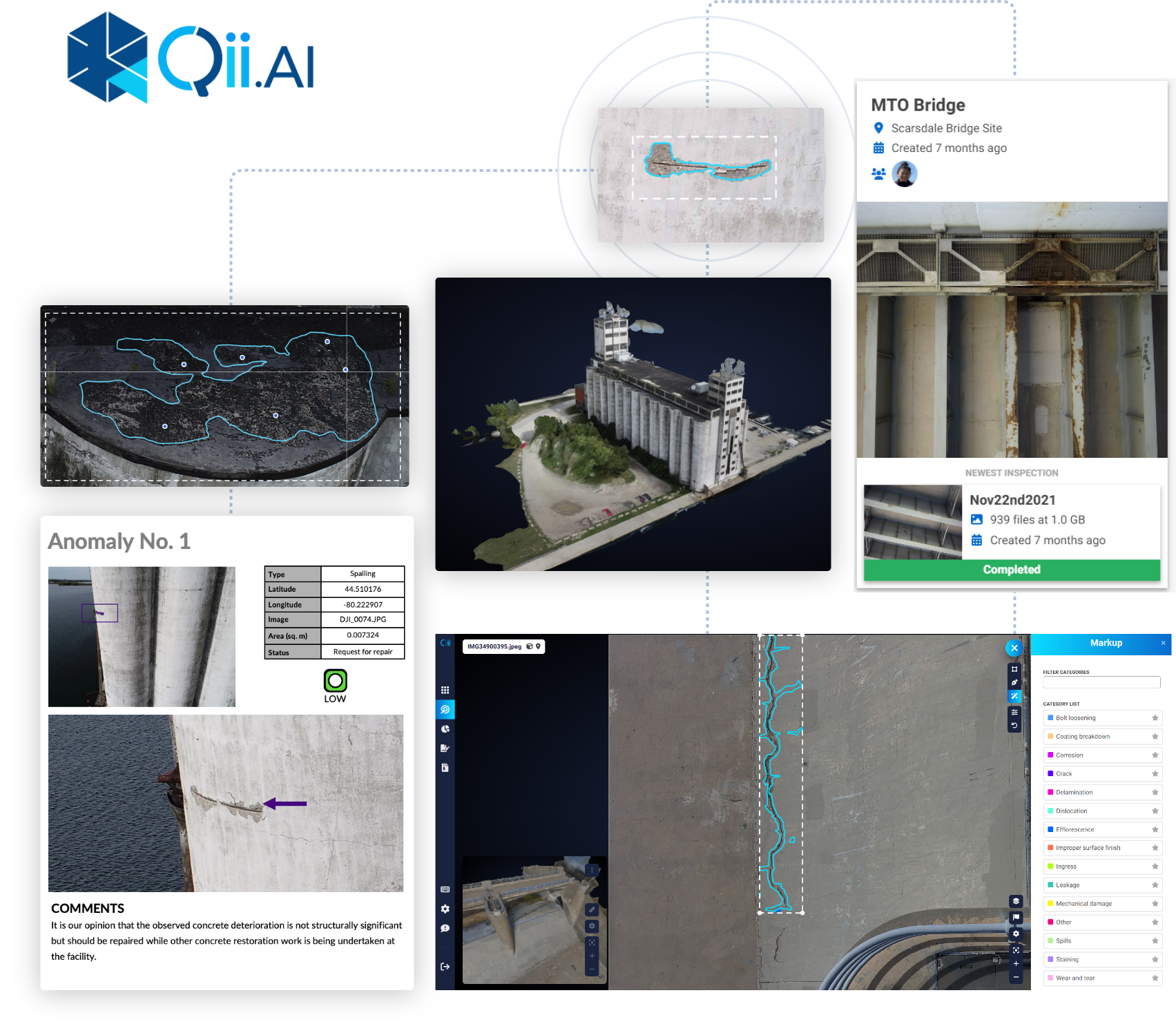
ScanFuse allows the civil engineer to load multiple individual sonar images into the application. ScanFuse then creates a mosaic of all the images automatically. The civil engineer can then start to use the machine learning feature of the software to identify areas of concern such as regions of scour, cracks in concrete, damage or corrosion to submerged structures like piles and dolphins, or unidentified debris of concern. As the civil engineer works with the software, the machine learning capability becomes smarter, and the user benefits from being presented areas of concern that are pre-identified by the software for analysis and decision-making.
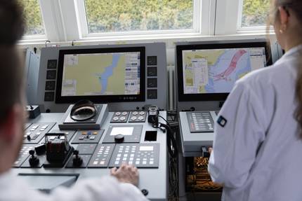
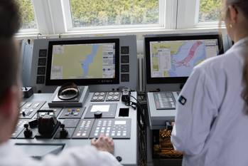
ScanFuse takes inputs from other imaging technologies above the waterline such as high-resolution geo-referenced photographic images, LIDAR point clouds, FLIR data, and thermal images, to create 3-D digital twins of an asset above and below the waterline.
Kongsberg also said it has partnered with Northwestern Michigan College and their infrastructure inspection micro credential. ScanFuse image generation is a part of this program. This micro credential is targeted to civil engineers who are responsible for inspecting and assessing marine infrastructure below the waterline.