New Tech: Automatic Calibration of Sea State Data

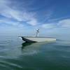
Availability of reliable, real-time ocean surface data can improve the safety, efficiency and performance of offshore and marine operations, as well as coastal monitoring, but the quality of the data is dependent on accurate calibration.
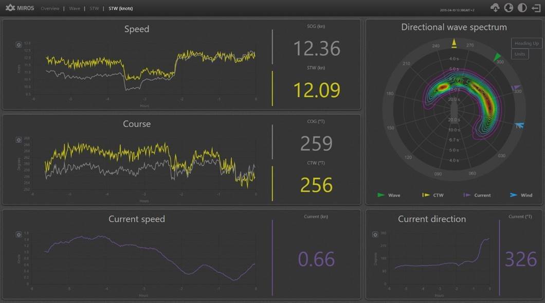
Calibration of wave spectra and integrated wave parameters from radar-based measurement systems has historically depended upon external reference sensors, such as wave buoys, which can present a number of challenges.
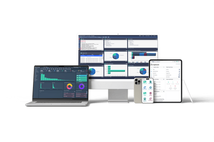
Miros’ ocean surface monitoring systems support fully automatic calibration, providing the user with high-quality wave and current parameters for a broad range of radar types and measurement conditions, without the need for manual calibration, helping to reduce installation and operational costs.
“Imagine having purchased a leading wave measurement system, only to be told that you need access to an additional system to calibrate the one you just bought,” says Miros COO Jonas Røstad. “The calibration process involves considerable logistics, additional costs, and can take weeks if not months to complete, impacting your timeline and your budget.”
Miros’ algorithms automatically calibrate for accurate measurement of ocean state parameters. In fact, all of Miros’ radar-based sensors are able to calibrate automatically.
Local, real-time ocean surface measurements can improve vessel and structure fatigue assessments, provide input to bridge and decision-support systems, as well as to marine, crane and loading operations, and help to optimize fuel consumption, route planning, cargo safety, passenger comfort, and coastal monitoring too.
For more information visit: www.miros-group.com